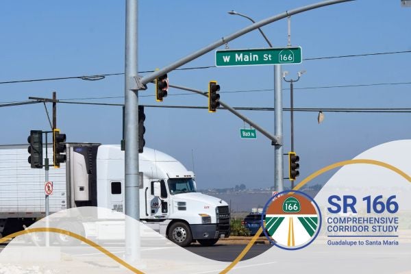
State Route 166 Comprehensive Corridor Study


Project funding
- Caltrans Sustainable Transportation Planning Grant
Status
- Existing Conditions
- Outreach
- Analysis
- Draft Study
- Final Approval
This study will assess the needs of the State Route 166 corridor from Guadalupe to Santa Maria and identify projects and strategies to address the needs in the area. This corridor study will have a wide scope with consideration for all road users and will consider planning for safety, mobility, access management, greenhouse gas emissions reduction, dust abatement, and agricultural goods movement.
Draft Final Report
The final report will be presented to the SBCAG Board on January 15, 2026 for approval. View the report below.

